

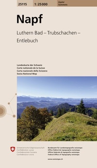
25115 Napf
Luthern Bad - Trubschachen - Entlebuch
Erschienen am 27. Januar 2026
Sonstiges
Karte (gefaltet)
1 Seiten
978-3-302-25115-8 (ISBN)
Beschreibung
The map series with 15 well-known peaks from different regions of Switzerland - not just for summiteers. Immerse yourself passionately in the world of mountains, with our precise summit maps.
With the Jura and the Alps, Switzerland has two mountain ranges with breathtaking peaks. From Le Moléson in the canton of Fribourg to Piz Corvatsch in Grisons, the Swiss mountains offer picturesque alpine regions and fascinating nature.
Each map in our collection at a scale of 1:25,000 was carefully designed and depicts well-known excursion peaks, highest cantonal peaks or impressive mountains. Thanks to the practical map sections and the extra large card format*, the respective summit regions are clearly shown. Thanks to their high accuracy, the maps are ideal for discovering the alpine, mountainous and hilly regions of Switzerland.
The environmentally friendly paper card
The cards are not printed in advance but are produced using a high-speed digital printer when ordered. This saves paper and contributes to sustainability. The maps are updated annually with the latest available data.
- *Card format: 77 x 76 cm
- Card format unfolded: 88 x 76 cm
- Card format folded: 11 x 19 cm